
Kaymakli Underground City Map: Location and Layout
Independent guide; not the museum operator or an official ticket seller.
Read Kaymakli's official plan with its source and room labels, while keeping current visitor access and surface arrival separate.
Last updated October 2026
Kaymakli plan: room statements and limits
The brochure labels a first-floor barn, third-floor food and work spaces and fourth-floor stores. Its church account is not given an invented level here. These records are not a measured section or current public path.
Full source records
Feature: Barn
- Source account
- Museum brochure
- Location or level
- First floor in brochure prose
- Access limit
- Confirm current room on marked route
Feature: Church
- Source account
- Museum brochure
- Location or level
- After a stone-closed passage; no level assigned here
- Access limit
- Source identification needed for a specific photo
Feature: Food and work spaces
- Source account
- Museum brochure
- Location or level
- Third floor in brochure prose
- Access limit
- Not a room-by-room route notice
Feature: Stores
- Source account
- Museum brochure
- Location or level
- Fourth floor in brochure prose
- Access limit
- Current access needs venue confirmation
Official Kaymakli brochure, Drawing 30 adapted from L. Giovannini · · Original source summary; no museum drawing reproduced.
Contents12
- Locate the visitor entrance
- Read the sourced Kaymakli Underground City map
- Rooms, circulation and accessible levels
- An original reading key
- Interpretation and missing survey detail
- How the layout differs from Derinkuyu
- Using the map during a visit
- Print, credits and corrections
- FAQ: map questions
- Match a room label before comparing photographs
- Continue planning your visit
- Verdict on the Kaymakli Underground City map
A Kaymakli Underground City map should name its source and distinguish the documented layout from today's public route. The official brochure contains a plan credited to an earlier author. This page links to that drawing and explains how to read it. It does not invent a tunnel network or promise that every drawn space is open.
Use the official plan for its recorded layout, the museum account for room labels and current signs for visitor access. The brochure calls its drawing a plan adapted from L. Giovannini. It is not a live route notice. The reference records below preserve the source's room statements without supplying missing dimensions or connections.
Locate the visitor entrance
The Ministry venue page gives Camii Kebir Mahallesi, Eşref Ayhan Caddesi No. 46, Kaymaklı. Address checked October 2026. Use the museum's mapping link and that address for arrival. A pin at the centre of Kaymaklı town is not a precise entrance locator.
The underground plan and the surface arrival map answer different questions. A plan can show spaces inside the complex without showing the street approach, parking entrance or current ticket queue. Confirm those arrangements separately. Do not use a shaft or an old entrance symbol as instructions for finding a public doorway from the street.
If arranging a taxi, give the museum name as well as the town. Agree the pickup location for the return. If the driver waits, make sure the arrangement is clear before entering. A diagram of rooms does not solve the surface transport plan.
Read the sourced Kaymakli Underground City map
The official Kaymaklı brochure labels its drawing “Drawing 30” and credits a plan adapted from L. Giovannini. That credit is important. It names a source behind the museum's drawing, rather than leave the image as an anonymous travel graphic. Brochure checked October 2026.
We link to the brochure instead of copying the drawing onto this page without a clear reuse grant. Open the source to see the plan and its key. Read the title and caption before trying to use the lines as dimensions. A visually detailed drawing is not automatically a complete survey with a stated scale for every part.
The plan should also be kept separate from an illustrated reconstruction. Furniture, people or beams of light added by an artist can suggest how a space might have been used. They do not become measured features simply because they appear in a cutaway. A source label should state which part is recorded and which part is imagined.
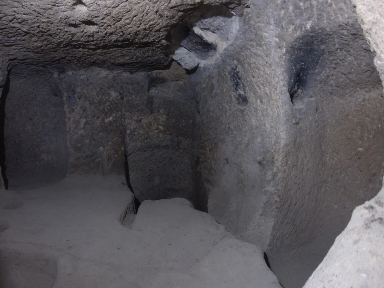
This guide's hero is a licensed photo of a carved room at Kaymaklı. It is not a map. It shows one view at capture, rather than the whole relation between floors. The nearby openings are visible, but the spaces beyond them cannot be reconstructed from that view alone.
Rooms, circulation and accessible levels
The Ministry describes an eight-level site with four levels lit for visitors. Keep that statement in its source context. It does not give a dated room-by-room access list. Confirm the present route at the venue and follow the signs and staff directions in use during the visit.
The brochure names a barn on the first floor. It discusses food and work spaces on the third, and stores on the fourth. Those are museum readings. They should not be used to label a general photo unless the pictured room has been matched to that feature. A room which looks broad is not automatically the barn.
The brochure also describes a church reached after a passage with a stone barrier. Its short prose does not give us a complete route from every visitor point to that room. Use the plan key and the museum's identification, rather than add an unsourced arrow on a photo. Ask the venue whether that room is on the current visitor route.
The reference records above keep each label with its source limit. They are textual guides to the account, rather than a measured cross-section. Their order on the page should not be read as the physical order in which the route passes each space.
An original reading key
The key is useful because a single image is often asked to do all three jobs. A historical room plan is good evidence for a documented layout. It can be poor evidence for the current street approach or a recent closure. Using the right source for each task keeps the visit plan clear.
Interpretation and missing survey detail
A line can have several meanings in a plan. It might mark a room edge, a passage, a shaft or a projected relation. Read the legend before calling it a walking route. If the symbol is not explained, preserve the uncertainty. This page does not assign a function to an unlabeled mark.
Check whether the view combines several levels. A plan can project features at different heights onto one surface. Two lines crossing on the page do not necessarily meet in the rock. A section or a measured three-dimensional record would be needed to resolve that relation.
Check for the unit and reference point of a dimension. A well depth is different from the thickness of the rooms. A wall length is different from the length of the visitor walk. Without the unit and endpoint, a number may look precise while answering the wrong question.
The geology and joint study by Mutlu provides named research on Kaymaklı and Derinkuyu. It helps with host rock and room form. Its scope should not be expanded into a current access map. A research drawing and a visitor-route notice have different purposes.
The short museum account cannot settle every room date either. A later group could reuse or enlarge a space. The proposed function of a room is not a complete construction chronology. To date it, look for a study of the relevant finds and contexts rather than an artist's colour scheme.
How the layout differs from Derinkuyu
The two museums have their own plans and room accounts. Their shared regional setting does not make a label transferable. A church level named at Derinkuyu cannot be used to label a Kaymaklı chamber. A shaft depth given for one site cannot be pasted onto the other site's drawing.
Both official accounts describe narrow links. That supports a practical question about the route, but not a universal claim that one city is easier. The number of lit floors, the route selected and a visitor's own needs all matter. Ask about the exact constraints rather than choose by a visual impression of one wide room.
If you visit both, use the plans to compare named features and how the museum explains them. You do not need to create a ranking. A useful choice can ask where rooms cluster, how a shaft is represented and which spaces have clear labels. Keep unsupported distances and hidden connections out of the notes.
Using the map during a visit
Save the official source before leaving if you want to read it without a reliable connection. Keep the caption and key with the image. A cropped plan without its labels can lose the very information needed to interpret it. Do not rely on a small thumbnail for a close reading of symbols.
Use the plan for orientation and questions, not to enter an unmarked route. The marked museum path takes precedence. A closed opening may appear connected on an older drawing, but that does not make it open to visitors. Ask staff rather than follow an inferred shortcut.
If a room name matters to you, ask how it is named on the source plan. This is especially useful when a guide names a church, storage room or workshop. A clear match between the location and the label is more informative than a list of room functions given without places.
Do not measure the plan from a phone screenshot. The image may have been resized, cropped or stretched. If exact dimensions are your question, seek the original measured record with its scale. The source brochure is a starting point, not permission to invent a measurement from pixels.
Print, credits and corrections
The original source key on this page is explanatory and has no physical scale. The dated hero has a visible photographer and licence credit. The museum plan remains linked at its source because no clear reuse grant was located. These are three different kinds of material with three different rights and evidence records.
If you print the page, retain the source notes. The records remain understandable without the graphic. They name the room statement and its limits. A printout should not strip away the warning that it is not a current access plan.
A useful correction would name the exact feature, source and page or drawing. For access, it should also give the date of the venue answer. That would allow a room label or route status to be updated without changing unrelated claims. An unattributed replacement image would not provide the same evidence.
FAQ: map questions
Is this a measured public-route map? No. This page links to the official layout drawing and supplies a source-reading key. Current route information must come from the venue.
Can I use the plan to walk to Derinkuyu? No public connecting-tunnel route is shown by the sources used here. Use checked surface transport between the separate museums.
Do all drawn rooms remain open? The drawing does not show that. Confirm the current route and stay on its marked path.
Match a room label before comparing photographs
The museum brochure links room descriptions with a credited plan. Use those two parts together. Start with the room name in the text, locate its label in the drawing, then ask whether the photograph identifies that same space. This avoids giving a generic chamber a specific function just because its shape seems plausible.
If the match stops at the second step, leave the photo caption broad. A carved room can still be described clearly without calling it a kitchen or church. For a guided visit, the unresolved match becomes a focused question: which label on the official plan names this room? Keep the answer tied to that feature rather than transfer it to every similar opening.
Continue planning your visit
Verdict on the Kaymakli Underground City map
Use the Kaymakli Underground City map with its original caption and key. Keep the recorded layout apart from surface arrival and current access. The source is useful for questions about the rooms, while present venue signs guide the actual visit.